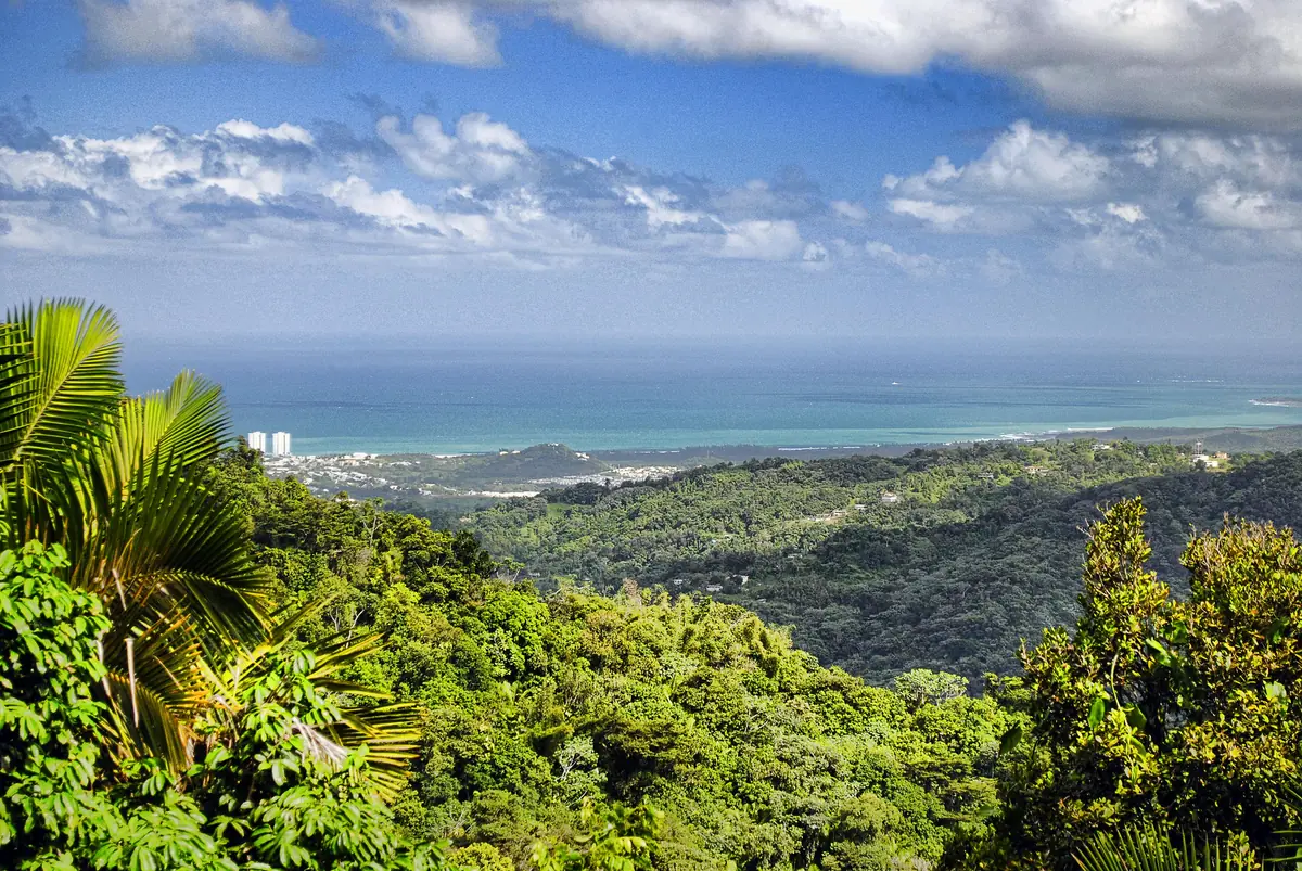
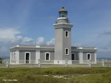
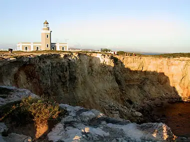
The Faro Los Morrillos, better known as the Cabo Rojo Lighthouse, stands at the southwestern corner of Puerto Rico on limestone cliffs that rise about 200 feet above the Caribbean. The setting is the reason to come. Reddish, wave-cut cliffs drop into impossibly blue water, the cove of Playa Sucia curves just below, and the salt flats of Las Salinas spread out behind you. The lighthouse itself is a handsome 19th-century Spanish building that has spent years waiting for repairs, so come for the place first and treat any access to the interior as a bonus.
History
Spanish authorities began building the lighthouse in 1878 and completed it in 1882. It was the third lighthouse built in Puerto Rico, designed to guide ships around the dangerous southwestern point toward the Mona Passage. The building is restrained and neoclassical: a one-story stone keepers' dwelling with a hexagonal tower about 12 meters (40 feet) tall rising from it. The original third-order Fresnel lens came from the French firm Sautter, Lemonnier and Company. A weight-driven clockwork turned it until an electric motor replaced the clockwork in 1959.
The light was fully automated in 1967. The building was then sealed and fell into disrepair. A major restoration, reported at around $3 million, started in 2002, and the lighthouse reopened to the public in 2007, repainted in its original gray with white trim. The light still operates, and the structure is listed on the U.S. National Register of Historic Places.
Current status: the building vs. the grounds
Hurricanes María (2017) and Fiona (2022) damaged the building's roofs, doors and walls. The Municipality of Cabo Rojo took back management of the site in 2022 and has been working through repairs: cleaning, painting, floors and gates. Reports since then disagree about when the interior is open. Some visitors have found it open on set days, and others found it closed for repairs. Before you count on going inside or up to the roof, check with the municipality.
The cliffs, trails and views around the lighthouse are the main draw, and visitors have generally been able to reach them even when the building was closed.
What to see and do
- The cliffs. Walk the paths along the headland for views of the cliffs and the sea-carved rock below. On calm days the water is so clear you can see the reef from above.
- Playa Sucia (La Playuela). The cove just north of the lighthouse is one of the most photographed beaches in Puerto Rico. A short trail connects the two.
- The salt flats. On the drive in you cross Las Salinas, where salt has long been harvested. The ponds sometimes turn pink. The U.S. Fish and Wildlife Service runs an interpretive center and observation tower here as part of the Cabo Rojo National Wildlife Refuge, and it is an excellent spot for shorebirds.
- Sunset. The headland faces open water to the south and west, so sunsets are excellent.
Getting there
Take PR-301 south from Cabo Rojo or Boquerón, past El Combate and the salt flats. The last section is an unpaved road through refuge land. Rules there allow only native soil for maintenance, with no paving and no imported gravel, so the road is rutted and can be impassable after heavy rain. A high-clearance vehicle helps. Otherwise, park where the road gets rough and walk. From the parking area, it is a walk uphill to the lighthouse. There is no public transport.
Practical tips
- No railings. The cliffs are undercut and crumbly, and the edges can break away. Stay well back, especially with children, and never stand on overhangs for photos.
- It's hot and exposed. This is one of the driest corners of Puerto Rico, with almost no shade. Bring plenty of water, a hat and sunscreen. Early morning and late afternoon are the most comfortable times.
- No services. There is nowhere to buy food or drinks at the point. Stock up in Boquerón or El Combate.
- Footwear. Wear sneakers or sturdy sandals. The limestone is sharp.
- Accessibility. The rough road, uneven trails and the climb to the lighthouse make this a hard visit for anyone with limited mobility.
- Allow two to three hours, or a full day if you add Playa Sucia.
Nearby
- El Combate, the beach village on the way in, for seafood and sunset drinks.
- Boquerón, for its public beach and lively village strip.
- Joyuda, the stretch of Cabo Rojo coast to the north known for its seafood restaurants.
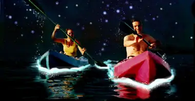
- La Parguera, for mangrove channels and the bioluminescent bay.
- Rincón Lighthouse, at the island's westernmost point, for a lighthouse-to-lighthouse day.
Good to know
- The setting is the attraction. The lighthouse interior may or may not be open on the day you visit.
- Road conditions depend on rain, so plan to walk part of the way after storms.
- Refuge visitor information is on the U.S. Fish and Wildlife Service site.
- Pack out all trash. You are inside protected habitat.