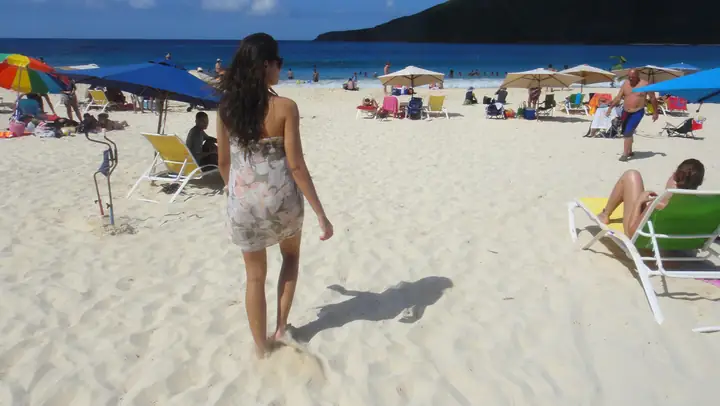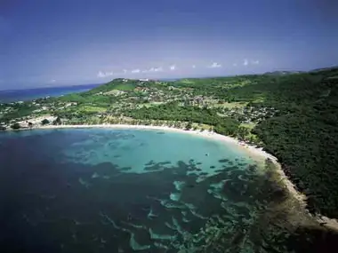
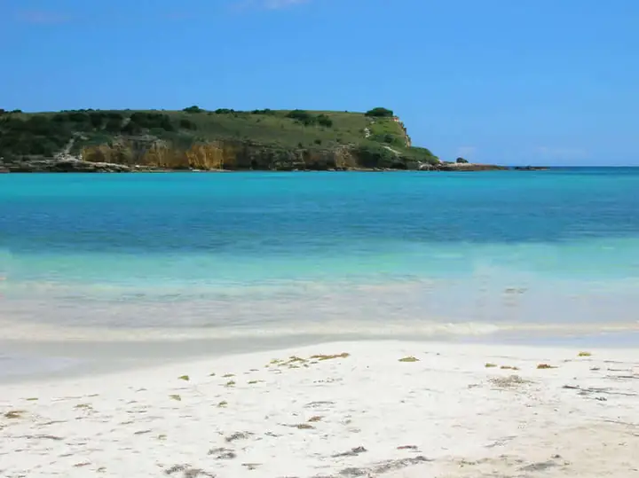
Playa Sucia, whose official name is La Playuela, is the crescent of pale sand and turquoise water tucked below the limestone cliffs of Los Morrillos at Puerto Rico's southwestern tip. The nickname means "dirty beach," which it rarely is. On most days it is one of the prettiest coves on the island. It is also undeveloped. There are no hotels, no kiosks and no lifeguards, just the beach, the cliffs and the Cabo Rojo lighthouse on the headland above. Getting there involves a rough dirt road, so plan ahead.
Where it is and why it stays wild
La Playuela sits in the Punta Jagüey area at the end of PR-301 in Cabo Rojo. The approach crosses protected land: the salt flats of Las Salinas, mangroves and dry forest that make up part of the Cabo Rojo National Wildlife Refuge, managed by the U.S. Fish and Wildlife Service. Those protections are why the area looks the way it does. They also explain the road. The final stretch runs through refuge land, where maintenance is restricted to native soil, with no paving and no imported gravel. Heavy rain can turn it into deep ruts and mud.
Getting there
From Boquerón or Cabo Rojo town, head south on PR-301 through Combate and toward the salt flats. Before the dirt section begins, you pass the refuge's Salt Flats interpretive center and observation tower. They are worth a stop for the view over the pink-tinged salt ponds and for birding. Past the salt works, the pavement ends and the road continues along the flats to small parking areas near the beach and the lighthouse.
- Vehicles. A high-clearance vehicle helps, especially after rain. Many visitors in ordinary cars park where the road gets bad and walk the rest of the way. Don't push a low rental car through deep puddles.
- Walking. Depending on where you park and how the road looks that day, expect anything from a few minutes to a mile or more on foot. A short trail leads from the parking area down to the sand.
- Timing. Parking near the beach is limited. On weekends, summer holidays and Holy Week, arrive early in the morning.
- Public transport. There is none. You need a car, a bike or a tour.
What to expect at the beach
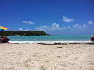
The cove is protected by the headlands, so the water is often calm and clear enough for swimming and snorkeling near the rocky edges. Conditions change with wind and swell, and nobody is watching the water, so judge the sea for yourself. Shade is limited to a few trees at the back of the beach. Above it all, the headland trail leads up to the lighthouse and the reddish cliffs that gave Cabo Rojo its name, about 200 feet above the Caribbean. The view down onto the cove from up there is the classic photo.
Seaweed is part of the story. Mats of sargassum sometimes wash into Caribbean bays in large amounts, and some days the beach lives up to its name. If you can, check recent photos or ask locally before you make the drive just to swim.
What to bring
- Plenty of water. It is dry, hot country with no services.
- Food and snacks, plus a bag to carry out every scrap of trash.
- Your own shade: an umbrella or a small sun shelter.
- Reef-safe sunscreen, a hat and sandals with grip for the rocky trail.
- Snorkel gear if you want to explore the rocks.
Respect the refuge
- Stay on established roads and trails. The salt flats and mangroves are sensitive habitat for shorebirds and other wildlife.
- Don't drive on the salt flats or the beach.
- Keep well back from the cliff edges near the lighthouse. There are no railings, and the rock can break away.
- Leave shells, plants and rocks where you find them.
Combine it with
- Cabo Rojo Lighthouse (Los Morrillos), right on the headland. The building has spent long stretches closed for repairs, but the grounds and the cliff views are the main attraction anyway.
- El Combate, the beach village a few minutes back up PR-301, for seafood, cold drinks and sunsets.
- Boquerón, for its long public beach and the lively strip of food stalls and bars.
- La Parguera in Lajas, for mangrove cays and the bioluminescent bay.
- Gilligan's Island off Guánica, a mangrove cay reached by short ferry farther east.
Good to know
- There are no lifeguards, restrooms, food or drinking water at the beach.
- Road conditions depend on recent rain. After a storm, plan to walk part of the way.
- For refuge information, including the Salt Flats interpretive center and observation tower, see the U.S. Fish and Wildlife Service visitor page.
- Weekdays are quiet. Weekends and Holy Week bring crowds of local families.
- Plan on at least half a day so the drive is worth it.